AviWind Guardian
A web and iPhone decision-support tool for evaluating wind-energy locations with point-level bird-collision risk, weather context, and multi-year forecasting.
Explore a proposed wind site before the turbines arrive.
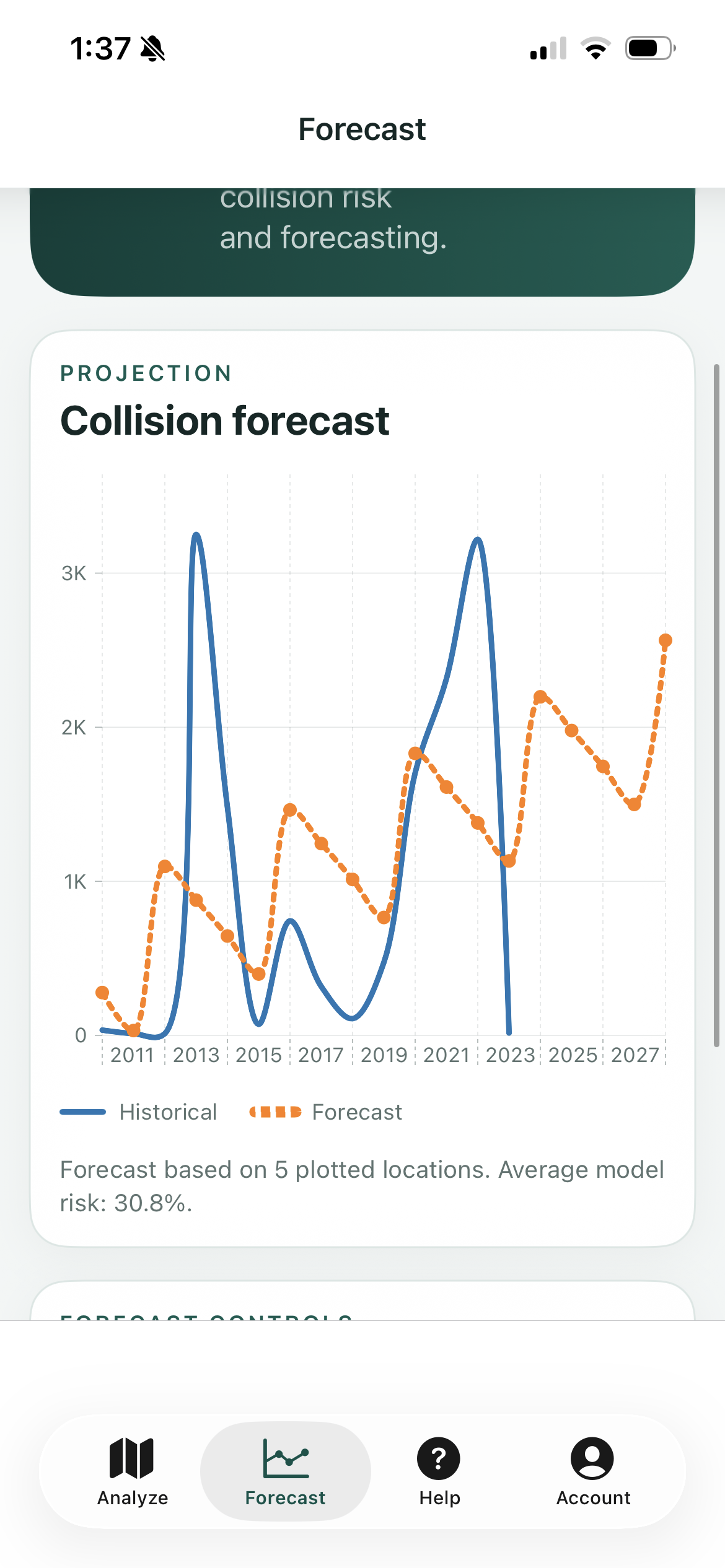
Interactive maps, point-level collision-risk results, weather context, and multi-year forecasting turn model output into a decision-support workflow.
The problem needed more than a surface-level design.
Wind-energy planning needs an understandable way to compare proposed locations against bird-collision risk while bringing coordinates, historical counts, environmental context, and model output together.
Shape the workflow around what people actually need to do.
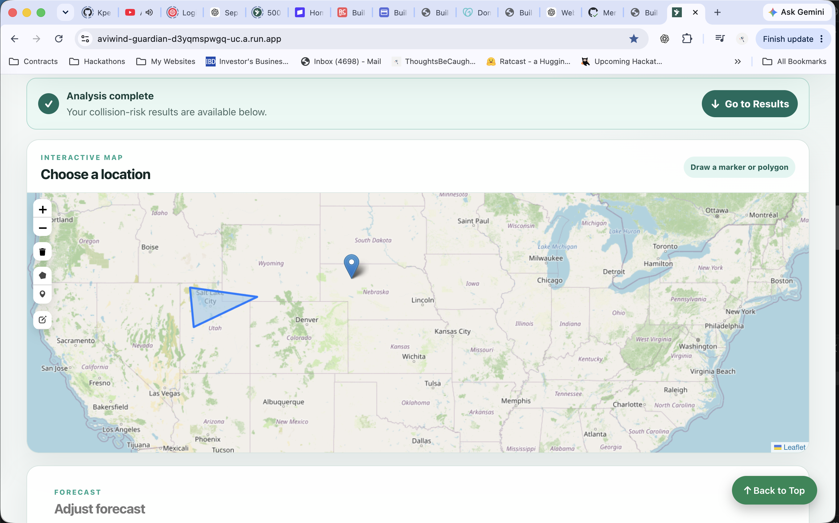
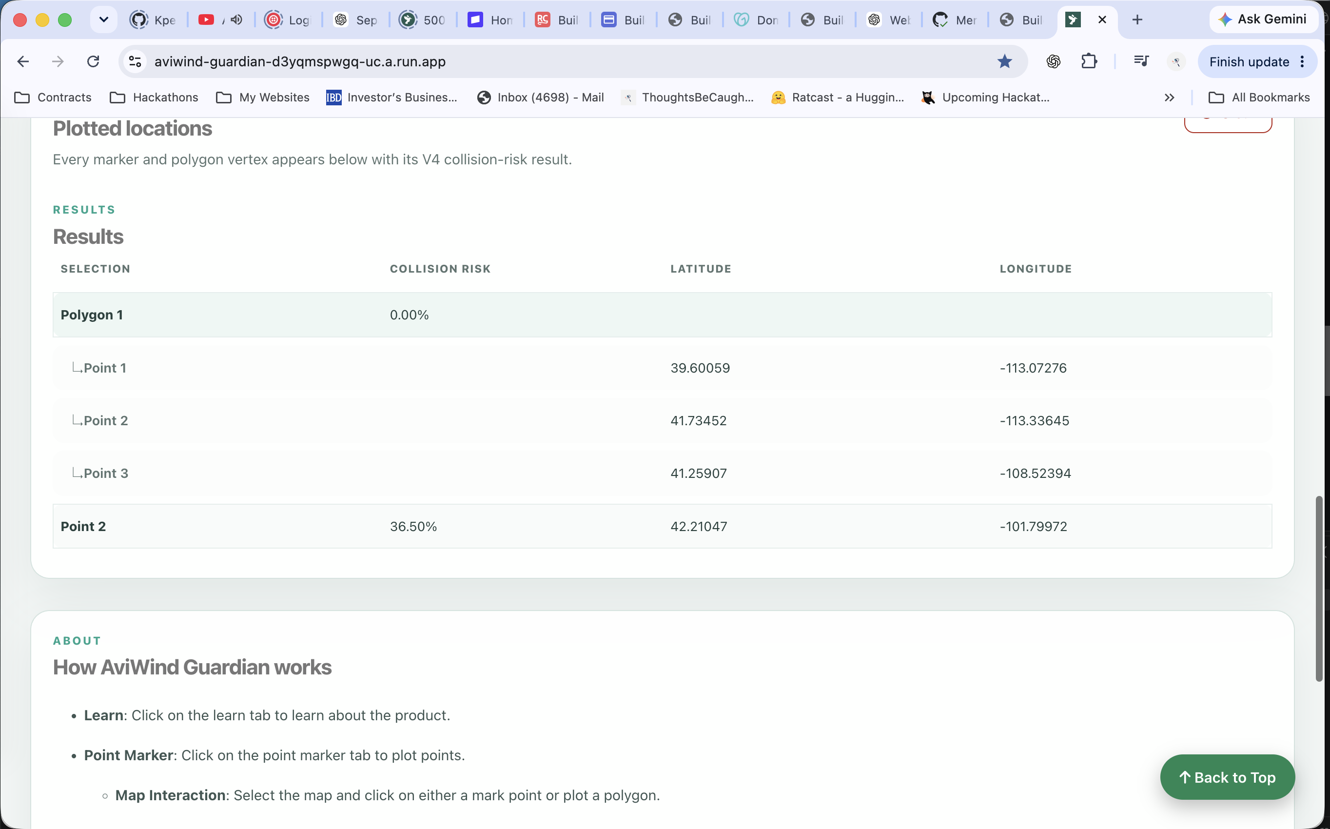
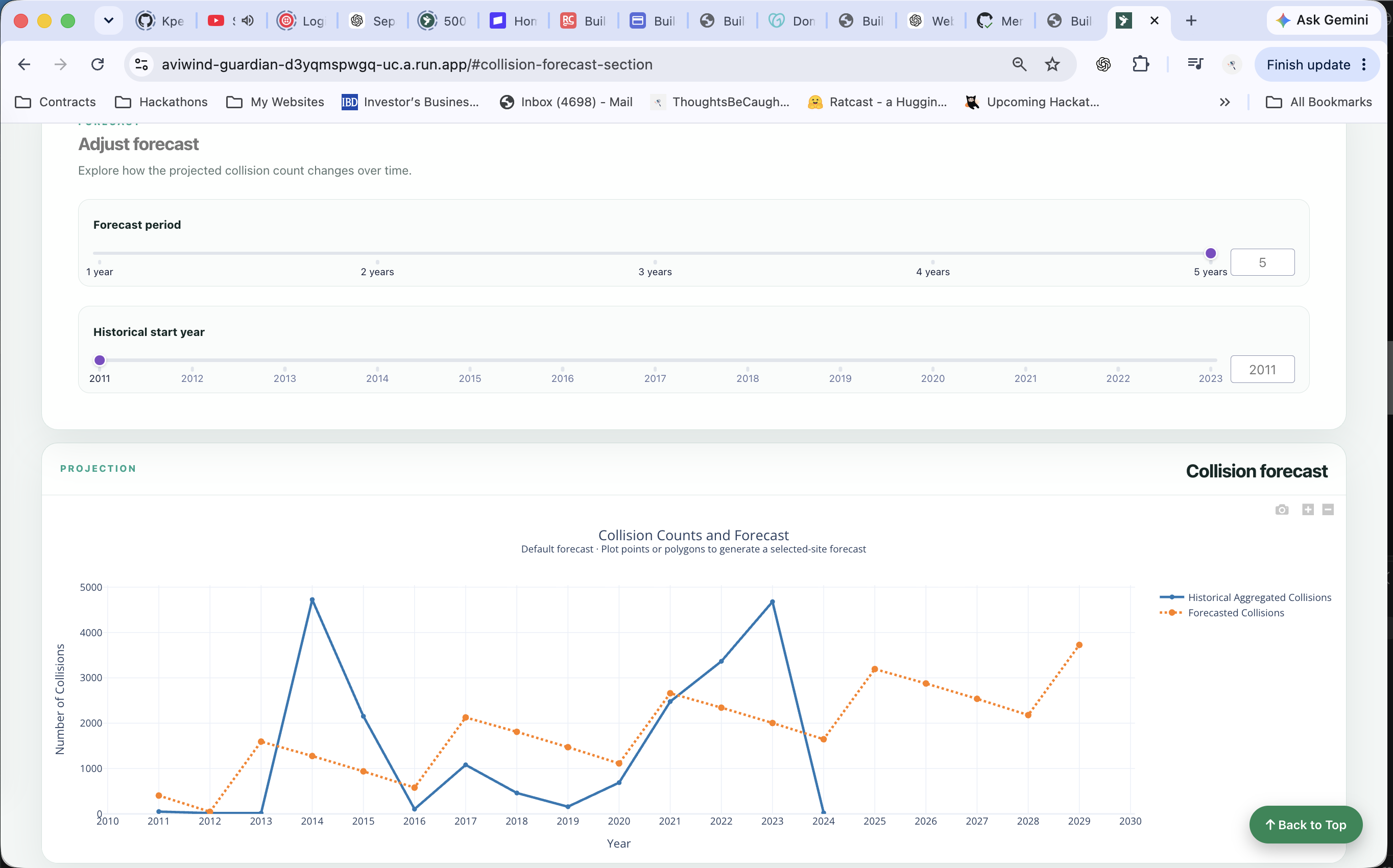
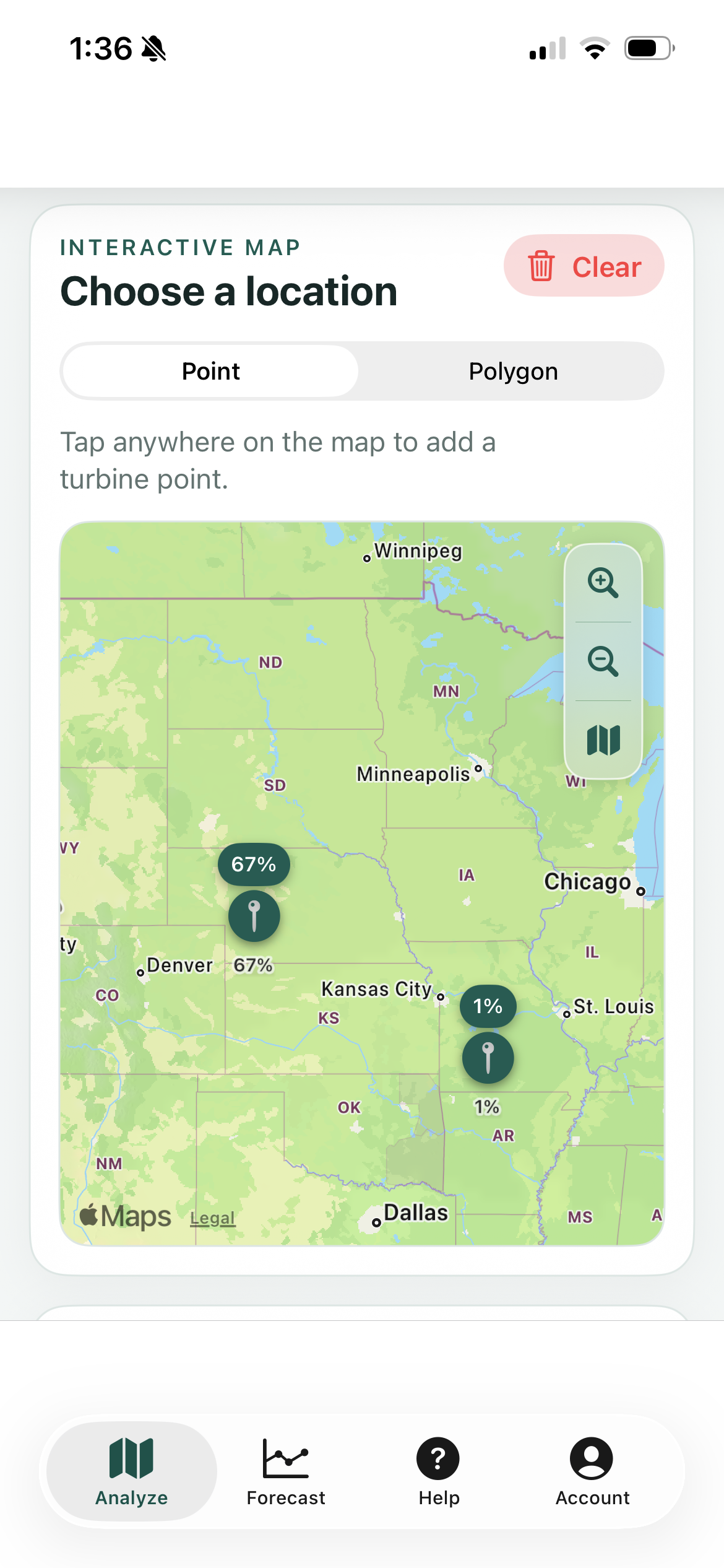
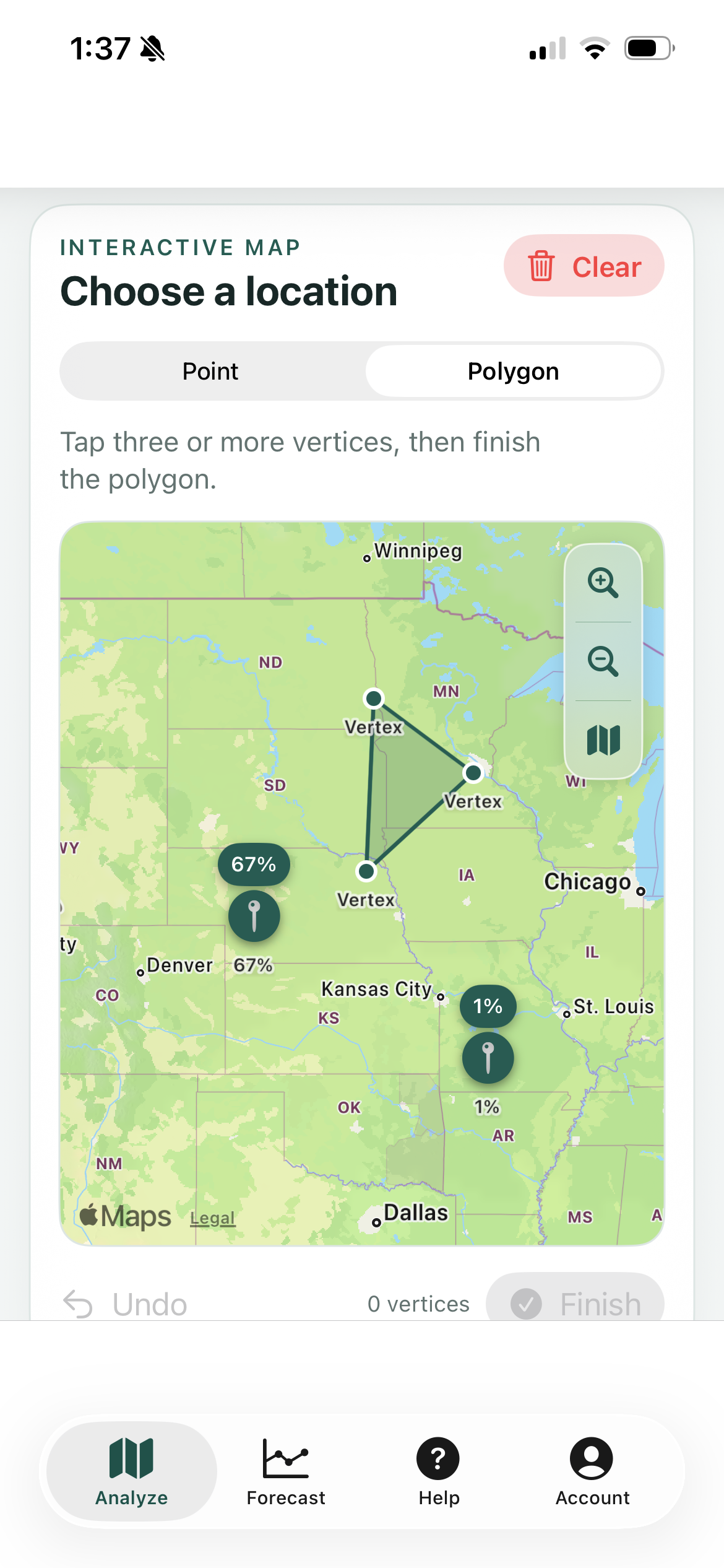
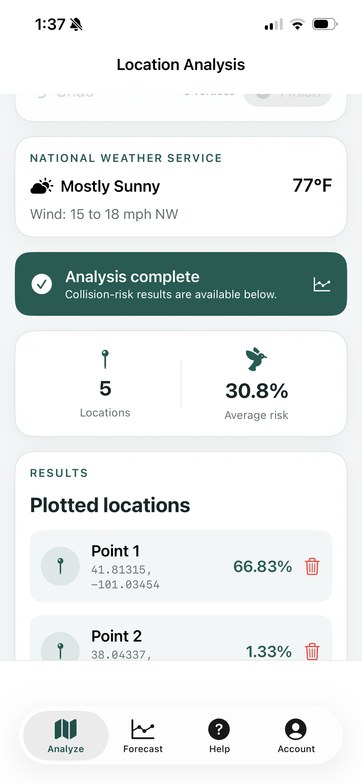
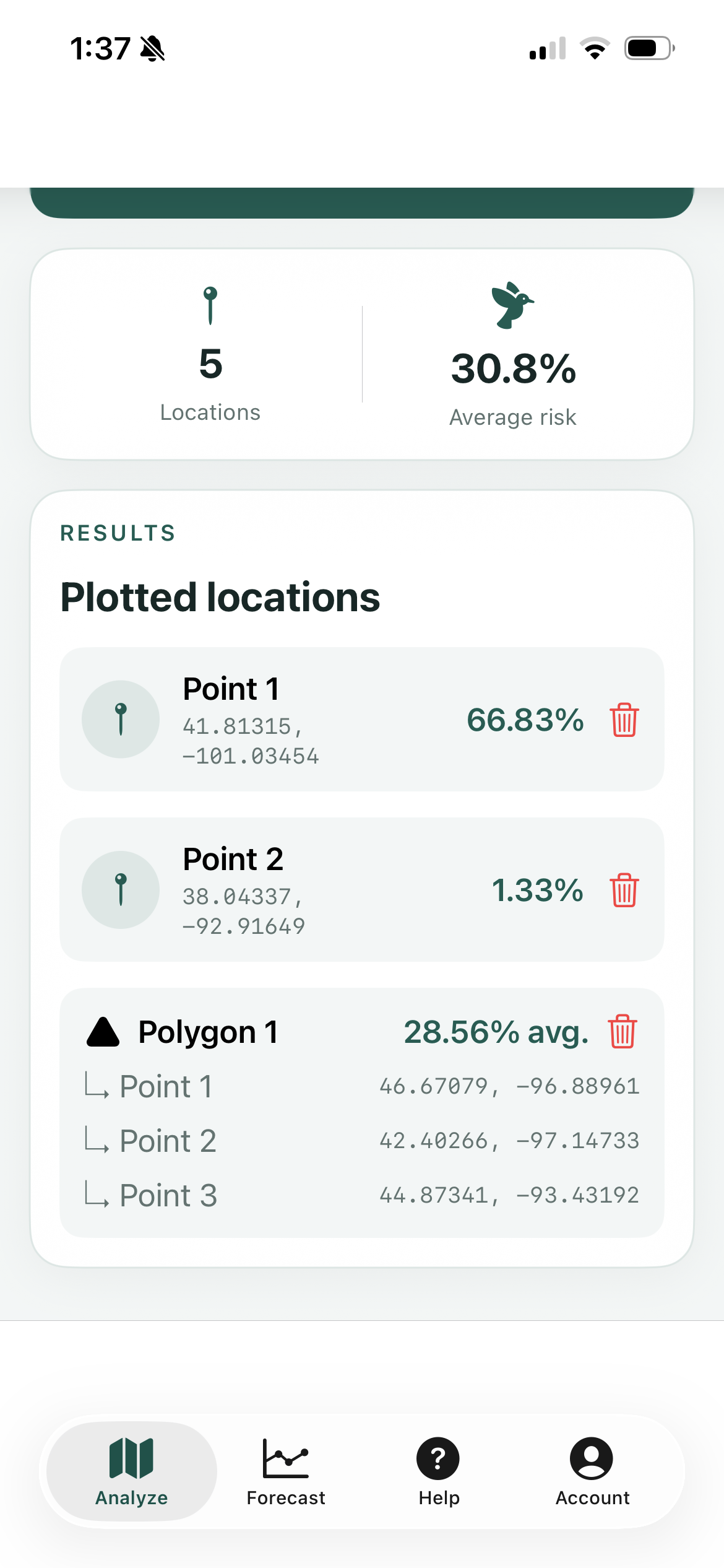
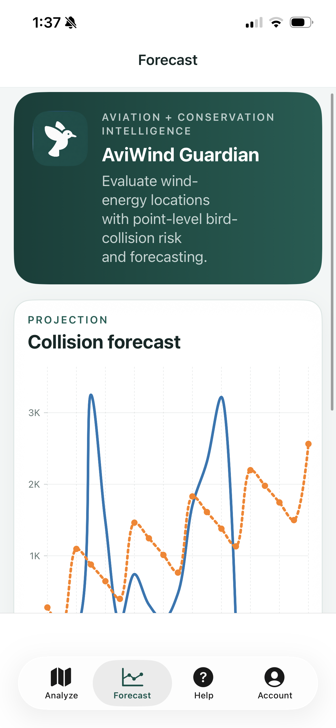
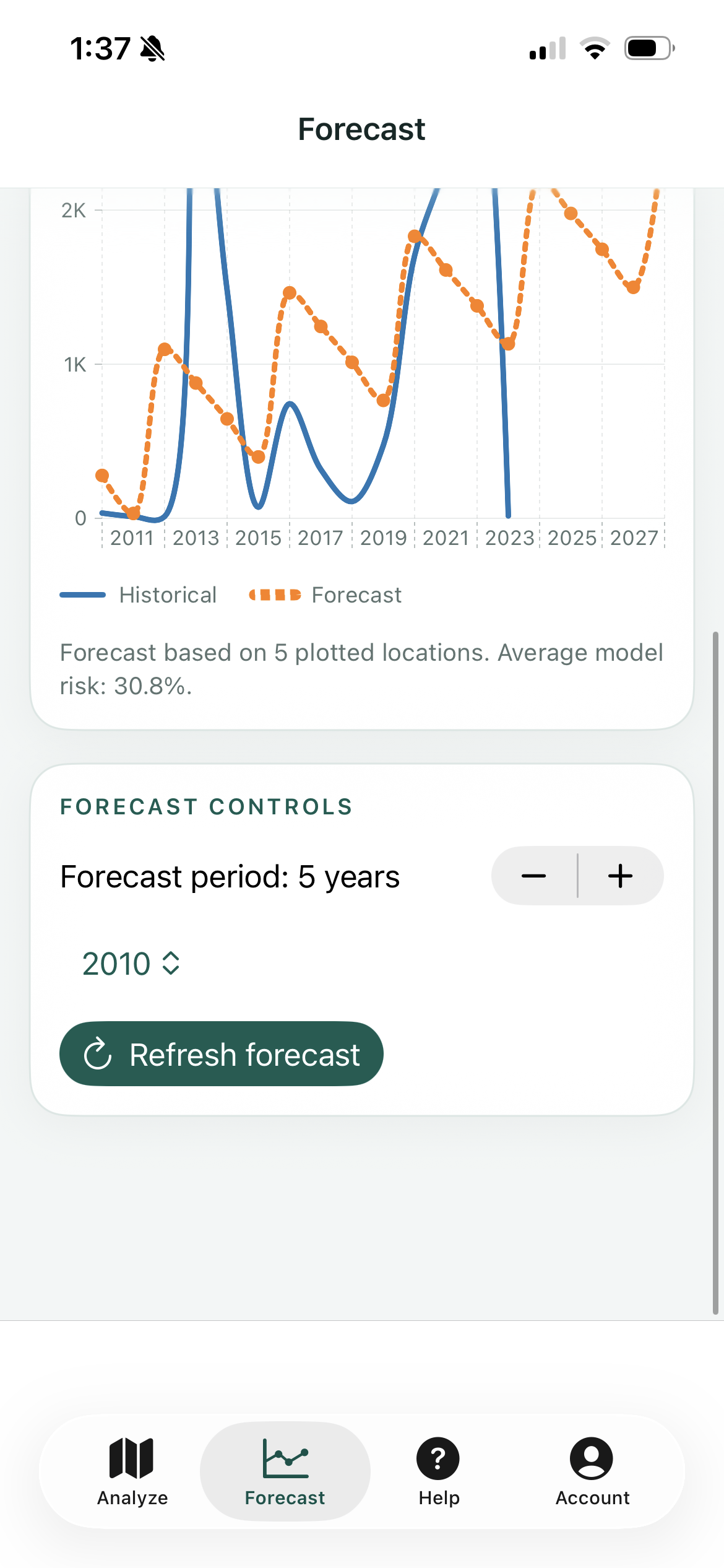
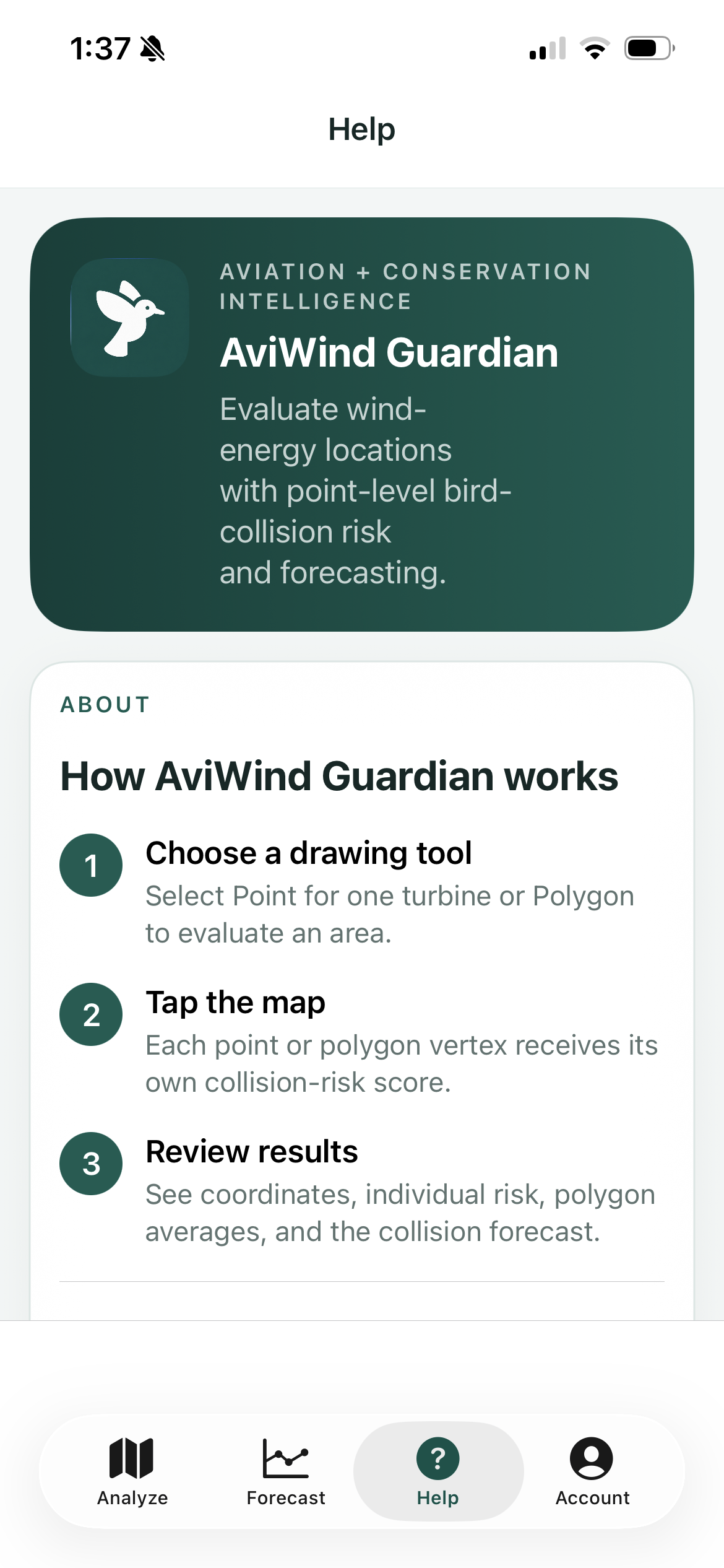
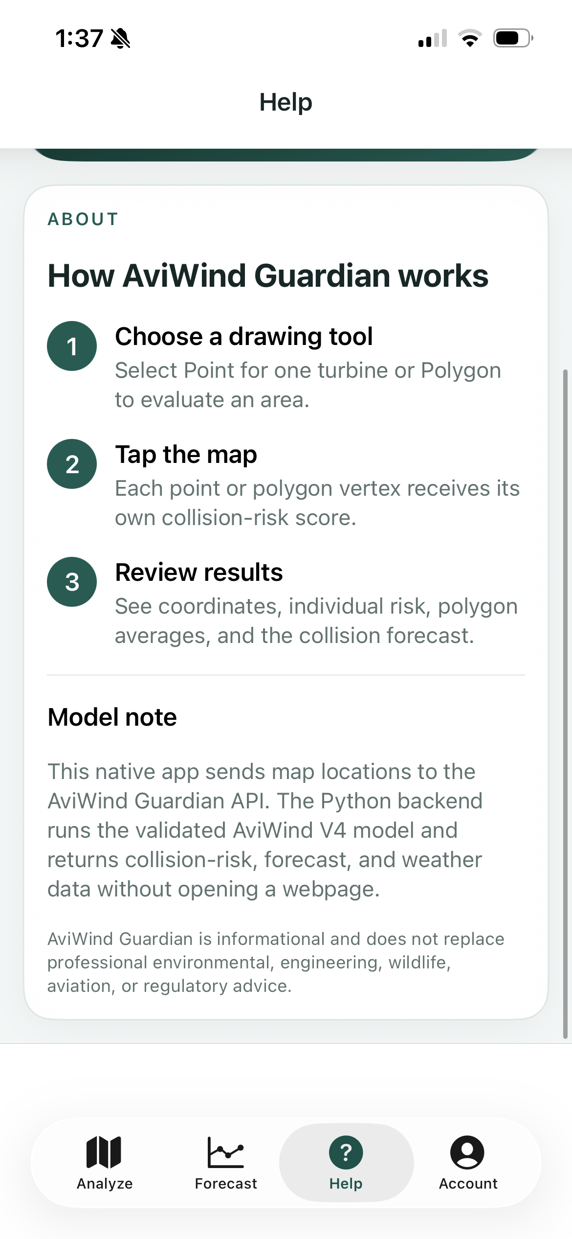
AviWind Guardian lets people plot points or polygons on a map and returns coordinates, individual risk scores, polygon averages, weather context, and an adjustable time-series forecast.
Connect the experience to working software.
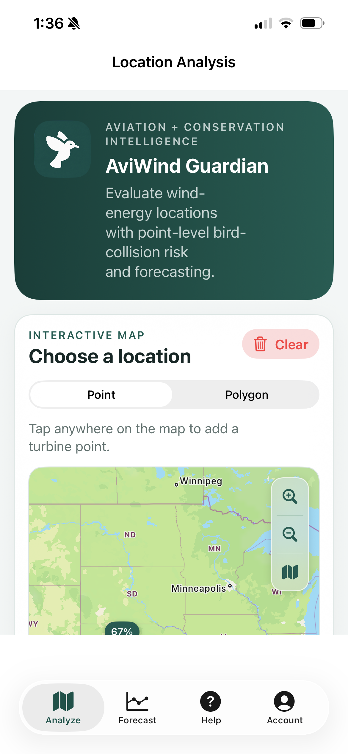
A responsive web application, native iPhone experience, shared Python prediction API, interactive mapping tools, risk tables, weather context, and multi-year forecast controls.
One partner across product and engineering.
Product design, full-stack engineering, model integration, geospatial UX, native iOS development, cloud deployment, and testing.
The important capabilities in one connected experience.
See how the finished product works.
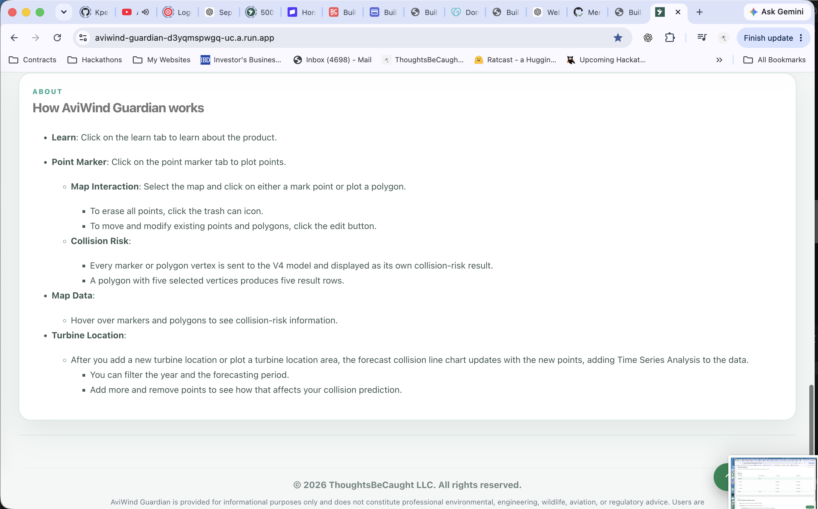
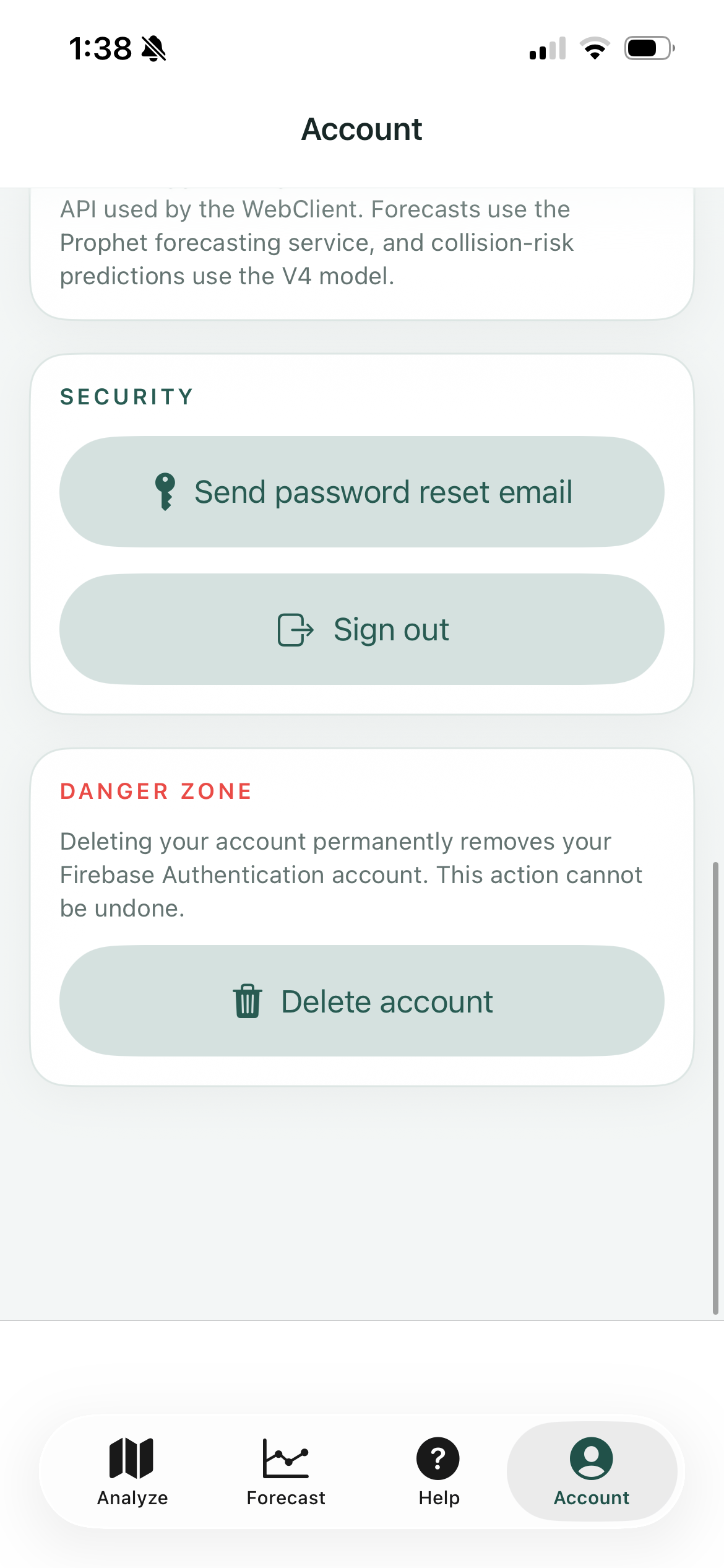
These are the original screenshots used by the case studies on the previous main-branch portfolio.
From the problem to a dependable product.
Understand
Clarify the real problem, the people affected, and the evidence that should shape the build.
Design and build
Turn the workflow into an approachable interface backed by the right product architecture.
Test and launch
Verify the experience across its intended platforms and carry the product into real use.
Start with the rough version.
Describe the problem, the person it should help, or the idea you cannot stop thinking about. You do not need a polished brief.